| PROPERTY PHOTOS: 1
2
3
4
|
PROPERTY INFORMATION AS OF 4/25/2024 11:08:34 PM |
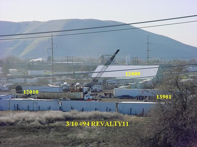 |
Parcel Address: |
LOWER AHTANUM RD, UNION GAP ,WA 98903 |
| Parcel Owner(s): |
ROGER WEST |
| Parcel Number: 19120612010 |
Parcel Size: 3.14 Acre(s) |
| Property Use: |
64 Service - Repair |
| TAX AND ASSESSMENT INFORMATION |
| Improvement Value: $0 |
Land Value: $68400 |
| CurrentUse Value: $0 |
CurrentUse Improvement: $0 |
| New Construction: $0 |
Total Assessed Value: $68400 |
| SALE INFORMATION |
| Excise |
Sale Date |
Sale Price |
Grantor |
| 432224 |
7/30/2013 |
$27426 |
WEST, DALE R & KAY A |
| RESIDENTIAL INFORMATION |
| Quality |
Year Built |
Stories |
Main SqFt |
Upper SqFt |
Bsmt SqFt |
Bedrooms |
Bathrooms (full/3/4,1/2) |
Garage (bsmt/att/bltin) |
Carport |
| No Residence Information Found. |
)
)
)
)